| R2V: Advanced Raster to Vector Conversion Software |
About R2V FAQ Download Demo Tutorial User List Price Purchase
|
|||||||||||||||||||||||||||||||||||||||||||||||||||||||||||||||||
R2V ApplicationsDownload
About R2V
Order R2V
Support/Upgrades
Company Info
|
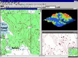
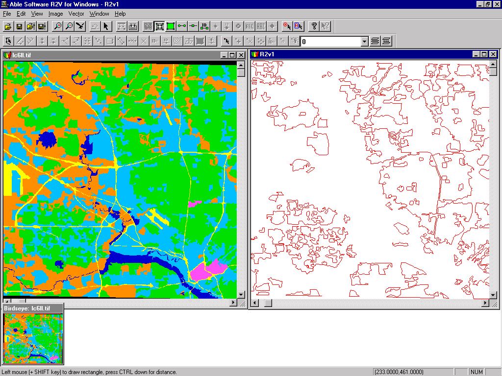
R2V is an advanced raster to vector conversion software for automated map digitizing, GIS data capture and CAD conversion applications. R2V is currently being used in more than 60 countries by thousands of users for mapping and GIS data conversion applications. R2V supports fully automatic vectorization and interactive line tracing from scanned maps and drawings. R2V inputs bi-level, grayscale, and color images in TIFF, GeoTIFF, GIF, JPEG, RLC, PNG or BMP formats. It exports vector data to ArcView Shapefiles, Arc/Info Generate, MapInfo MIF/MID, AutoCAD DXF, IGES, STL, VRML, SVG (Scalable Vector Graphics) and MapGuide SDL formats. R2V supports complete on-screen image and vector editing, labeling, and geo-referencing using GeoTIFF or user specified control points, image rubber sheeting, color image classification and separation, text symbol detection and recognition (OCR), automatic polygon layer creation, 3D DEM and Grid creation, and 3D display and image draping. R2V is currently being used in more than 60 countries for mapping and GIS database creation applications.
Raster to Vector Conversion ServicesAble Software provides raster to vector conversion and map digitizing services using R2V software. Please contact us if you need conversion and digitizing services. Application Cases Using R2V for Windows (9X/NT/2000/ME/XP/VISTA)
Able Software Corp.
Copyright © 1993-2008 Able Software Corp. All rights reserved. |